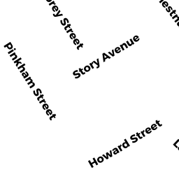
16 HOWARD ST
Owner Information
ROGERS SAMANTHA MARIE
16 HOWARD ST
LYNN, MA 01902-3008


Property Details
16 HOWARD ST is classified as a Single Family Residential (Colonial).
The primary structure on this property was built in 1939. There are 1,719ft2 of built area within this property. There is 1,719ft2 of residential/living space within this property. This property is listed as having 7 rooms.
16 HOWARD ST is valued at $422,800. The land is valued at $156,200 and the structures are valued at $265,200. There is an additional valuation of $1,400 on this property.
This property is in Zone R2. Confirm with local Zoning Board authorities to ensure there are no overlays or other easements on this property.
16 HOWARD ST was last sold on Tuesday, July 20, 2021 for $440,000.
Assessment data from fiscal year 2022.
Flood Data
According to the FEMA National Flood Hazard Layer, this property does not appear to be in a flood zone. It may also be in an area not yet reviewed. Nonetheless, confirm this information prior to taking any action.
To view the flood hazards around this property, create a FEMA "Firmette" Map of the area around 16 HOWARD ST.
Broadband Internet Providers
| Provider | Type | Bandwidth (mbps) | |
|---|---|---|---|
| Verizon New England Inc. | Fiber | 940 | 880 |
| Verizon New England Inc. | DSL | 7 | 0 |
| Viasat Inc | Satellite | 100 | 3 |
| Crown Castle Fiber | Fiber | 0 | 0 |
| VSAT Systems, LLC. | Satellite | 2 | 1 |
| HughesNet | Satellite | 25 | 3 |
| GCI Communication Corp. | Satellite | 0 | 0 |
| Comcast | Cable | 1000 | 35 |
Broadband service provider data from December 2020.
Adjacent Properties
- 12 HOWARD ST
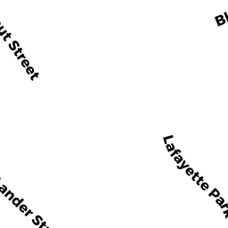
Two-Family Residential owned by GRANDBERRY GINA - 72 CHESTNUT ST
Two-Family Residential owned by DIZDAREVIC SVAD - 12 LANDER ST
Single Family Residential owned by CAMPBELL PAULINE - 10 LANDER ST
Two-Family Residential owned by RENDON WALTER J - 20 HOWARD ST
Single Family Residential owned by DENG ABRAHAM